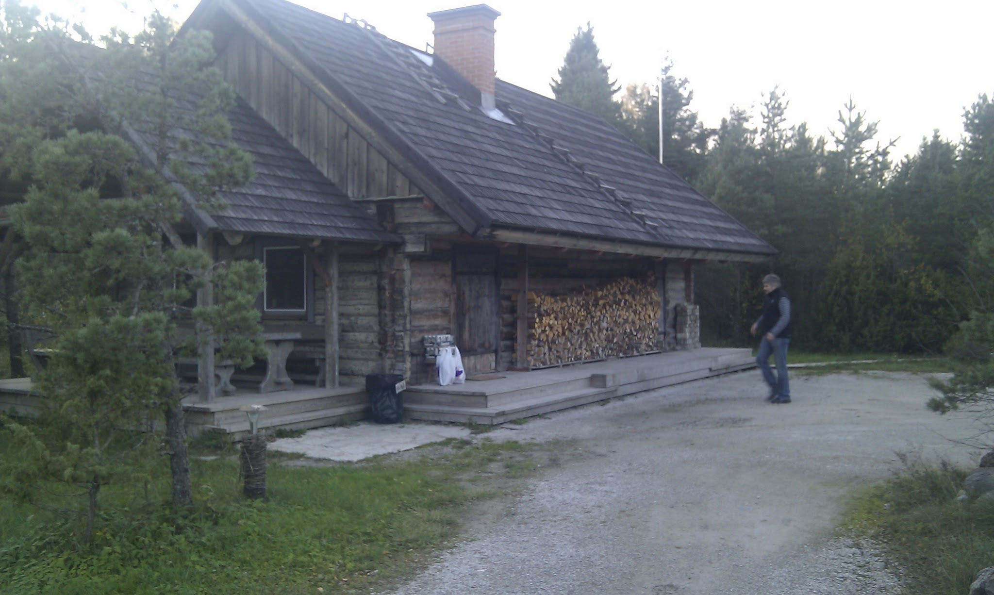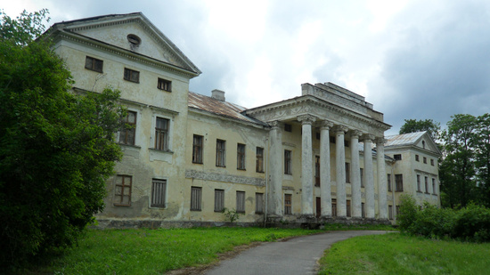
Viru bog trail is one of the m ost famous bog trails near Tallinn. It´s about 40 km on Peterburi maantee towards Narva. Then turn left to Loksa direction, few hundred meters and on trhe right side is a small parking place with map stand and DC.
Track starts from N 59.470907 E 25.637528.
Track is recorded in early winter time with high water, You can follow it exactly at any time.
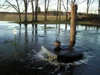
Tuhala Witch Well is usually like any other well, but sometimes, if there is wet season and water level is high, this well becomes like artesian well, flooding out water what comes from underground Tuhala River.
This happened now, and will probably continue several days.
A legend says that the Witch Well will boil when Tuhala witches are whisking.
Reisijutud.com saw this well flooding 4 years ago, at Christmas Time. Then it flooded in the beginning of 2005 and right now. See MeieTV video below.
Tuhala Nõiakaev pulbitses taas üle tüki aja. Kui suurt külma ei tule, siis ehk õnnestub teda ka homme näha koos Looduseomnibussi retkega, mis stardib hommikul nii Tallinnast kui Tartust:
Laupäeval, 6. detsembril 2008
Retk Tuhala Nõiakaevule
Suur vesi ja lühike valge aeg määravad meie päevakava: läheme Eesti suurimat Tuhala karstiala ja Nõiakaevu keemist vaatama. Vaatame ka Ülo Õuna skulptuure ning meenutame legendaarset geoloogi Ülo Heinsalu. Retke juhendab looduskaitsja Ants Talioja.
Tänasest on veebis näha taas looduskaamera - otse-eetris võib näha seekord merikotkaste söögiplatsi, kus käivad ampsamas ka teised linnud-loomad.
Reisijututuba käis sügisel kaasas, kui kaamerale head kohta söögiplatsi ääres otsiti, nüüd on kõik üleval ja töötab. Kokku on kaks kaamerat, nende pilti näeb ühest videostriimist kõrvuti.
This is probably the most popular one-day bicycle track in Estonia. You can walk this track, to, but no cars a,,owed in the middle of track. You can reach starting point from Tallinn by train (Tallinn-Aegviidu, last stop) or by car (Peterburi mnt, turn off Aegviidu direction).
Sry, no pics from this track jet.
Google Map - track and waypoints.
Kaberneeme Peninsula is typical fishermen villages coast in North Estonia. Hotel, restaurant and harbour are available at the starting point. You can leave Your car there.
First part of journey is on sandy coast. Avoid private properties near coastline. Then turn back to pineapple woods.
Pictures about this track, 29.07.06
Google Map - track and waypoint.
Iru trail is inside the city borders, but You can find pure nature and even animal activity here. This is unofficial track, so remember: no signs and no trails may be on the way. Beware of local land owners - track leads You to shore trail, what is officially free to pass for everyone, but some land owners are very angry about strangers. This didn´t happened to Us on our way, but You never know... all the track is publicly accessible by the law, some parts may change during the construction works near Iru Power Station, so follow the fences and signs.
Copyright © 2024. All rights reserved
Designed By Zymphonies
Kasutame ka andmeanalüütikat ja reklaamiteenuseid. Klõpsa nupul Rohkem teavet, kui tahad lähemalt teada.